Satellite images alone not enough to protect farmland


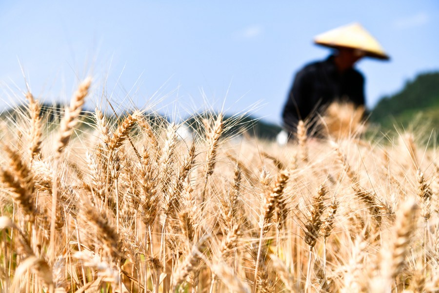
In order to curb the conversion of arable land into nonagricultural land, the natural resources departments have used satellite technology to continuously carry out law enforcement inspections of the land, so as to effectively strengthen the management and protection of arable land.
Yet satellite surveillance is not foolproof. For example, when some local departments implement arable land projects, in order to increase the area of arable land photographed by satellite, they destroy the ridge between the slope terraces of the arable land, in order to meet the requirements of the projection width of less than 1 meter to measure the area of arable land. As for whether the newly added arable land is suitable for machined plowing, whether there are drainage ditches, whether farmers can use it, and whether it will be washed away, these issues are not considered.
Law enforcement needs to be strengthened in this regard. On the basis of satellite imagery comparison, it's necessary to strengthen the on-site inspection of the quality of newly added arable land. It is suggested that the agricultural and rural departments and the ultimate management entities of arable land participate in on-site checking to ensure the efficient use of newly added arable land and avoid fabrication.
In fact, the Ministry of Natural Resources has clearly pointed out that natural resources departments at all levels can use the satellite images only for the purpose of obtaining clues to discover illegal activities. It is absolutely not allowed to directly use the satellite images as the basis to judge whether the land is being farmed or not.
In order to avoid mechanical law enforcement, relevant departments need to further refine their management. For the suspected misuse or misreporting of farmland on-site checks and any wrongdoing should be rectified in a timely manner. For controversial illegal situations, it is not appropriate to simply exert downward pressure before the facts are investigated.
All parties should work together to form a joint force to protect the cultivated land that is crucial to the country's food security.
-Beijing News