Surveyors take giant steps to recalculate height of Qomolangma


Calculations
According to Liu Zhanke, deputy chief engineer of this year's survey, mountains are measured with basic trigonometry.
The technique, which has been used for hundreds of years, helped teams under the guidance of George Everest (surveyor general of India 1830-43) to calculate the height of Qomolangma in the 1840s.
To calculate the elevation of a mountain, scientists measure the distance between two points on the ground and then measure the angles between the top of the mountain and each point. With two angles and one side of a triangle, trigonometry reveals the lengths of the other sides, and thereby, the height of the triangle (the mountain), Liu said.
To make the measurements, surveyors must identify a horizontal surface by using a base level. In China, that is the level of the Yellow Sea off Qingdao in the eastern province of Shandong, more than 4,000 kilometers from Qomolangma.
"Sea level changes in different parts of the world due to the influence of tidal forces. So, every country has a legally recognized sea level. The current level of the Yellow Sea was calculated based on continuous observation of changes over 19 years, which is longer than an astronomical tidal period," said Jiang Tao, associate researcher at the academy of surveying and mapping and a member of the advisory panel for this year's survey.
Having confirmed the results of previous sea level measurements, the scientists passed on the data to teams of surveyors in Dingri county, Tibet.
"Once the surveyor's beacon had been placed on the summit, surveyors at stations around the summit measured the distance from the six points to the beacon, which meant at least six triangles could be calculated to determine the mountain's height," Jiang said.
In 1975, a surveyor's beacon was placed on Qomolangma's summit for the first time by a team of Chinese mountaineers.
That allowed surveyors at nine observation stations near the mountain to calculate that it was 8,848.13 meters high-the first time China had officially announced the height.
In the two large-scale comprehensive scientific surveys that followed, in 2005 and May, beaconsabout 3 meters tall and 5 kilograms in weigh-were carried to the top, Jiang said.
"Of course, one measurement could be wrong, so surveyors calculated the dimensions of the mountain from many stations at the base, averaging out the heights calculated with many, many triangles," he said.
Nowadays, surveying and mapping projects are aided by technological developments. In addition to the BeiDou-3 Navigation Satellite System, other modern instruments (mostly made in China) also played a role, such as a gravimeter to measure gravity, a radar to calculate snow depth, and meteorological instruments to assess the weather.


- China's Global Governance Initiative receives positive feedback at forum
- China's Xizang sees steady tourism growth in 2025
- First-of-its-kind pearl auction held utilizing Hainan FTP
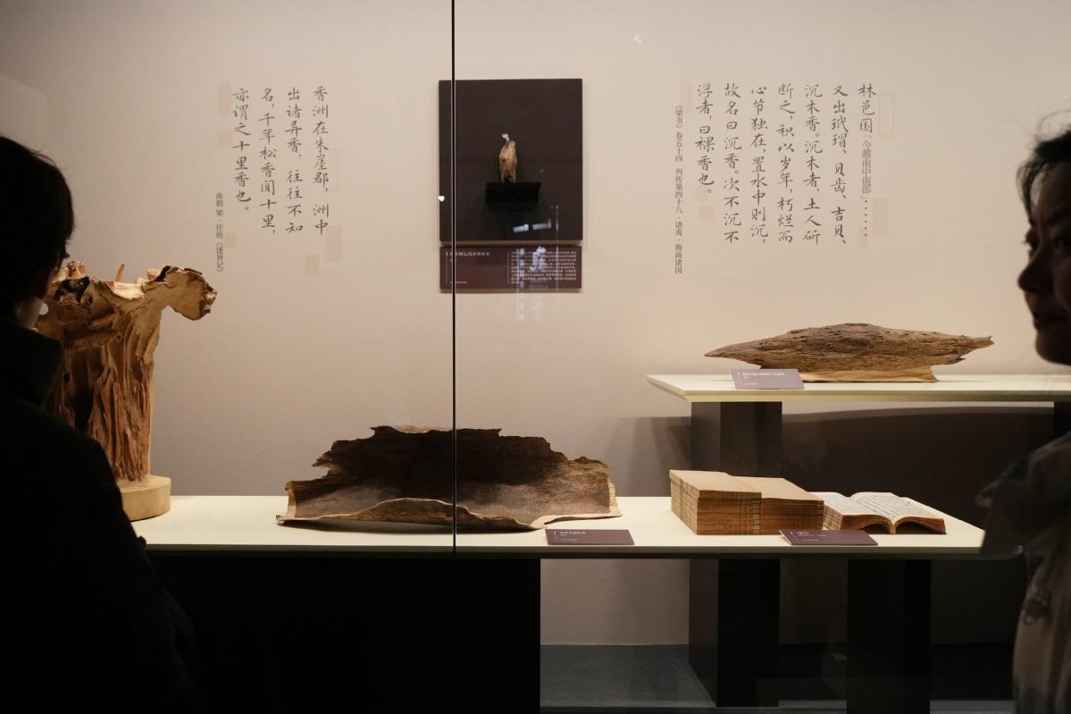
- Agarwood exhibition steeps Shanghai museum in fragrance
- The Fujian Coast Guard conducts regular law enforcement patrol in the waters near Jinmen
- IP protection for new fields to improve